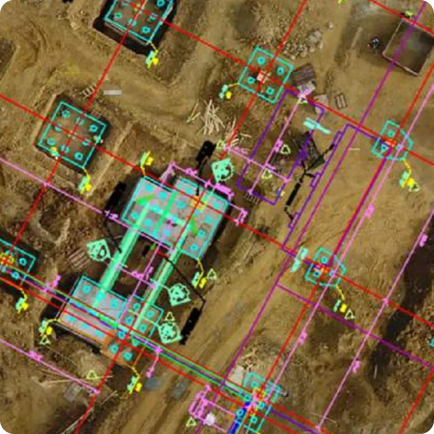
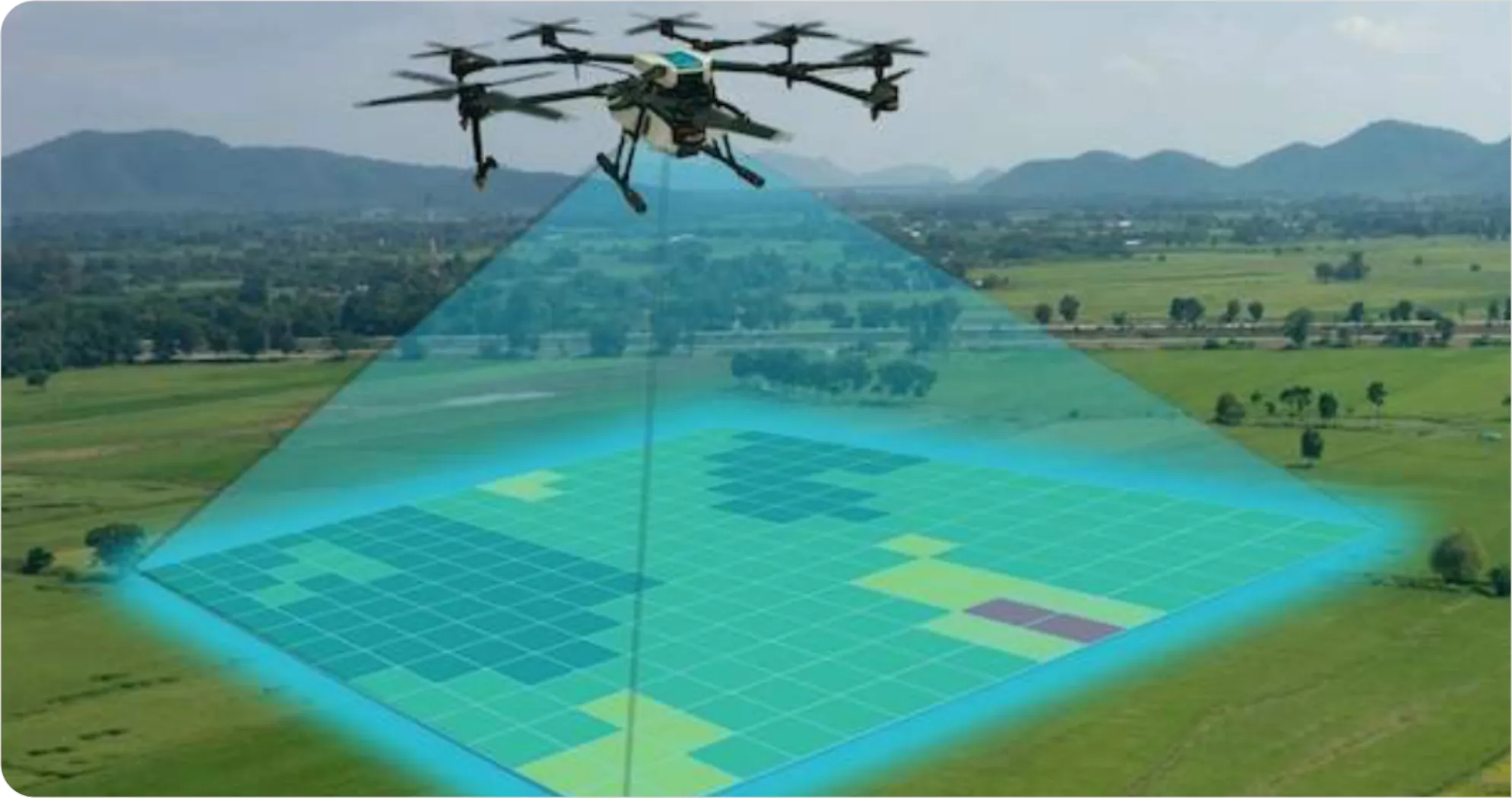
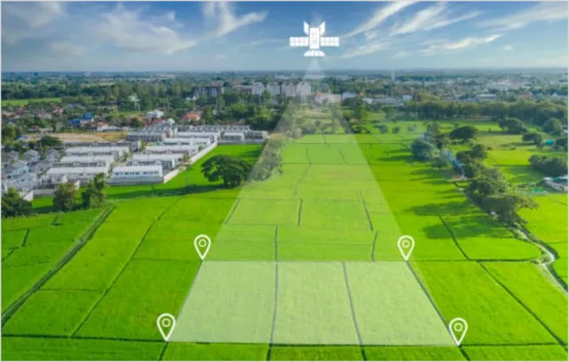
Drone surveys are becoming an ever-increasing tool for surveying projects of all size. Fast and efficient, our drone surveys can pick up a mass amount of data and of course are safer, and able to reach areas that other types of surveying methods sometimes can’t.
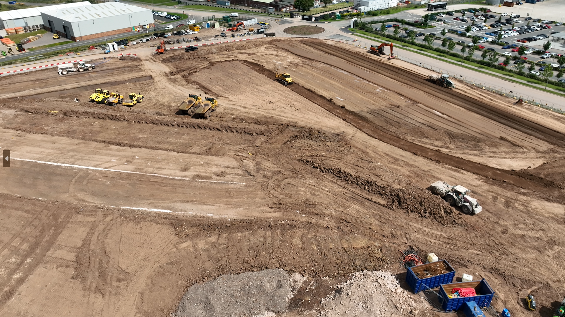
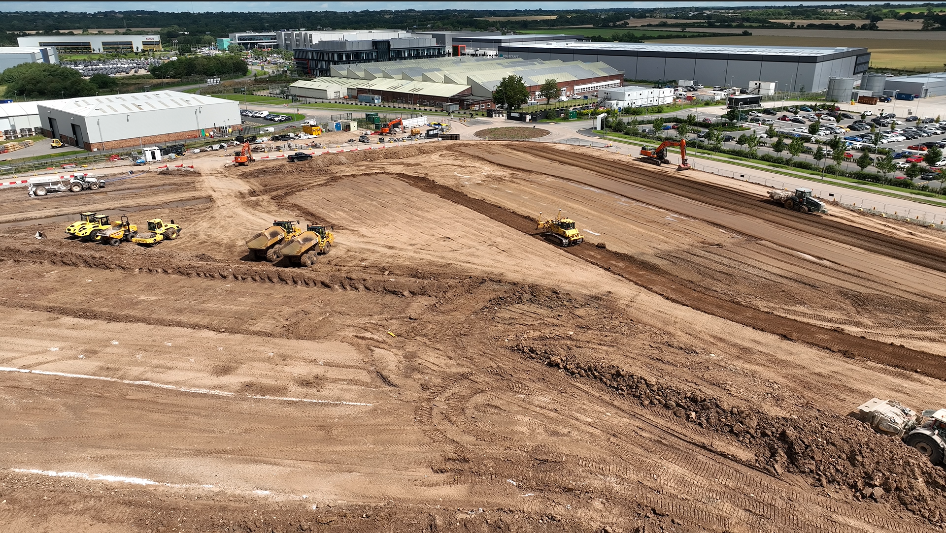
We provide imagery for the client that can be crucial in terms of referencing back where are project sat at that point in time, enabling the client to demonstrate a visual to the intended audience that ground photos and records simply can’t.
Dive into our accomplished projects
Dive into our accomplished projects
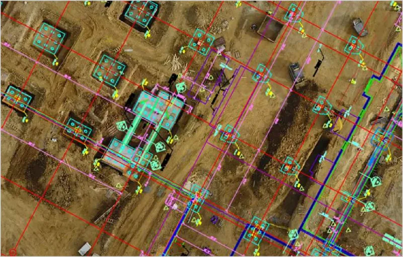
Often our clients want weekly or month drone surveys to overlay drawings to, demonstrating where the project is for a variety of reasons.
Our accurate drone surveys provide one whole precise and clear image of the site allowing our clients to monitor progress and works.